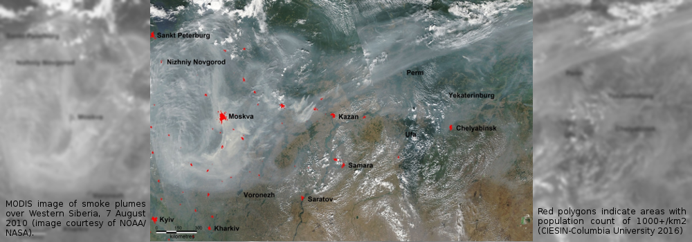
Influence of Meteorological Conditions on Fire Danger
Traditional methods to assess fire danger include Keetch-Byram Drought Index, Canadian Fire Weather Index System, Nesterov Index and National Fire Danger Rating System. Indices are calculated from surface weather data. Fire danger also depends on synoptic weather patterns.
Detection, Monitoring and Probability of Fire Occurrences
Fire events can be detected by sensors mounted on orbiting satellites. Fire management agencies regularly release situation reports during their respective fire seasons. In addition, fire occurrence prediction models calculate the probability of the ignition of a fire either by lightning or human activities.
Dynamic Features of Wildland Fire Behaviour
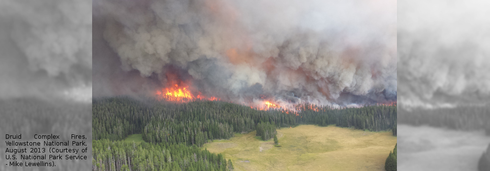
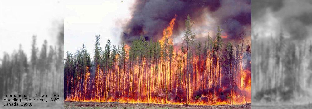
Fire behavior is assessed with physical-statistical models developed from observations of experimental and prescribed burns, as well as wildfires. Model estimates include the spread rate, fuel consumption and intensity level. The fire front is usually considered as elliptical in an uniform wind field.
Smoke Emission and Dispersion, and Impact on Air Quality
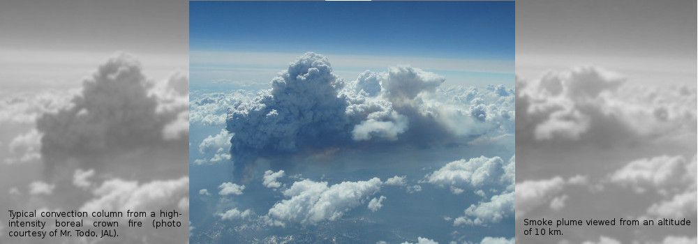
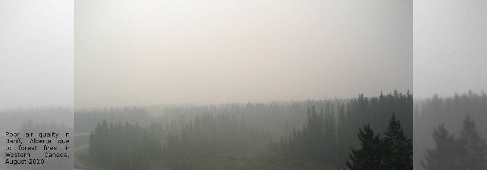
Fires are a large source of pollutants in our atmosphere. Smoke plumes can have a significant impact on air quality, human health and visibility. The buoyancy generated by some fast spreading forest fires can propel smoke to high altitude, and therefore affecting the climate at regional scale.
